Precipitation, while essential for sustaining life, embodies a paradox of nature. It offers invaluable resources, nurturing rivers and agriculture, thereby supporting ecosystems and human settlements alike. However, it can also unleash torrents of destruction, culminating in floods and landslides that devastate landscapes and lives. Consequently, mastering the intricacies of precipitation patterns has become a priority, particularly in regions where these atmospheric phenomena yield unpredictable impacts.
Understanding and projecting precipitation types—rain, snow, sleet, or hail—has become a cornerstone of meteorological science. Designed to inform agricultural practices, water resource management, and disaster preparedness, this knowledge is critically dependent on accurate data. Yet, certain geographies, such as the towering Tibetan Plateau, pose distinctive challenges for capturing and interpreting precipitation data effectively.
The Tibetan Plateau, often referred to as “the Roof of the World,” presents a unique physical landscape characterized by extreme altitudes and varied climatic conditions. This region’s height complicates the traditional methodologies employed to observe and analyze precipitation, resulting in significant discrepancies in data gathering. High-altitude terrain often leads to misclassifications in satellite radar systems, where subtle forms of precipitation may be inaccurately categorized.
During the summer months, the atmospheric freezing level is encountered at altitudes similar to parts of the plateau, which can create confusion between stratiform and convective precipitation. This misclassification not only complicates atmospheric studies but also has profound implications for local communities who rely on accurate weather forecasting.
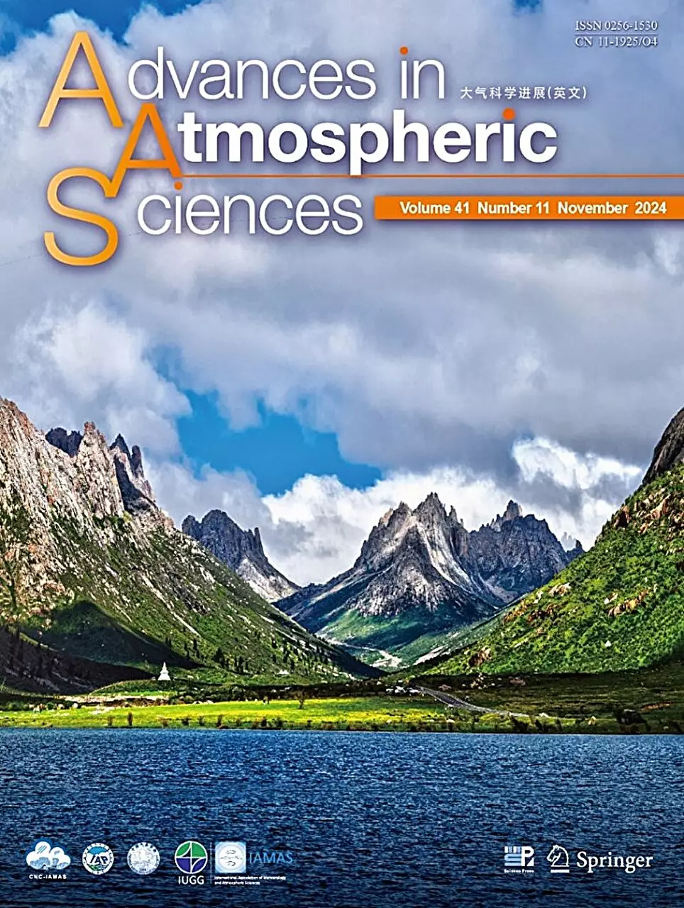
Recognizing this challenge, a recent study published in *Advances in Atmospheric Sciences* spearheaded by Professor Fu Yunfei from the University of Science and Technology of China, seeks to refine the identification process for precipitation types over the Tibetan Plateau. Fu and his collaborators undertook a comprehensive evaluation of the traditional methods used in meteorology and found significant limitations in existing algorithms, particularly when applied in high-altitude regions.
Traditionally, precipitation has been classified through a binary framework, relegating it to either convective or stratiform categories based largely on observations from lower altitudes. This simplification not only masks the complexity of atmospheric dynamics but also renders weather predictions less reliable. The new approach developed by Fu’s team integrates multiple parameters—such as maximum reflectivity factor and echo top height—to create a nuanced classification system that divides precipitation into several distinct types like “strong convective” and “weak convective.” This methodological leap promises increased accuracy in forecasting by reducing identification errors that had previously hindered meteorological analyses.
The implications of these advancements cannot be overstated, particularly for the inhabitants of mountainous regions like the Tibetan Plateau. Accurate precipitation forecasting is essential not merely for understanding weather patterns but also in mitigating natural disasters and improving agricultural outputs. Improved identification methods can equip local communities with the intelligence required for effective preparedness, fundamentally enhancing their resilience against climatic adversities.
Despite the progress outlined by Fu and his team, the research also acknowledges the necessity for further investigation. Specifically, confirming the existence of stratiform precipitation during summer months over the Tibetan Plateau remains a daunting task, often rendered difficult due to limitations in satellite measurements. This unanswered question serves as a clarion call for ongoing research endeavors.
The pioneering work led by Prof. Fu Yunfei represents a significant stride forward in our understanding of precipitation dynamics on the Tibetan Plateau. By challenging conventional classifications and adapting methodologies to better suit high-altitude environments, researchers are laying the groundwork for a more precise meteorological science. However, the journey is far from over. As new insights into precipitation explore the complex interplay between geography and climate, scientists remain committed to refining their approaches, eager to unlock the mysteries that govern weather patterns in some of the most challenging landscapes on Earth. Through such ongoing endeavors, we inch closer to fostering a society that adeptly navigates both the bounties and challenges of nature’s most vital resource.


Leave a Reply